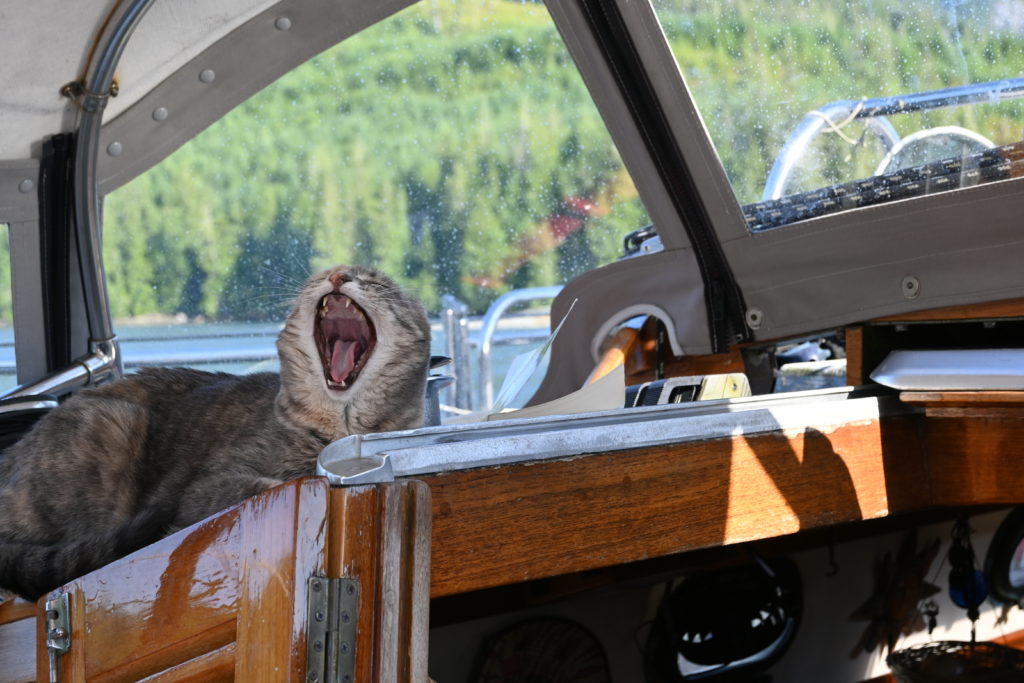
How often do you go on vacation knowing it won’t be any fun for the first 11 days? With our plans for a counter clockwise circumnavigation of Vancouver Island, we knew we wanted to be around the top and past Cape Scott by the 1st of July. A month delay to finish the deck at home kept us in Puget Sound until mid June.
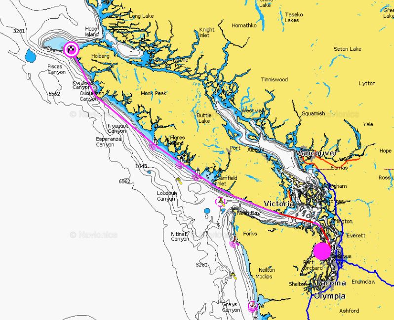
Navionics auto routing says in 372 miles we can be up at the top by going outside first. But of course that’s not the goal. Outside south to north is upwind and upcurrent, so it would be a nasty bash the whole way up.
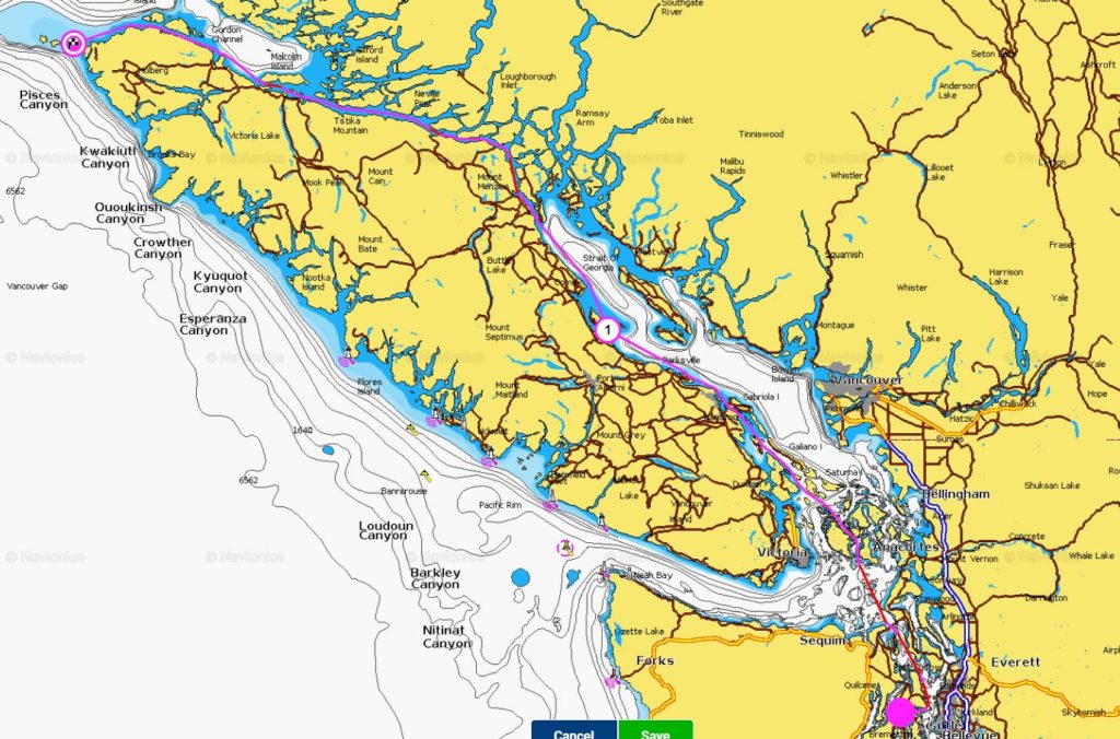
Interestingly this route up the inside, roughly the way we went, is only 16 miles further – 388 miles from home to Cape Scott. These are all motoring miles, also upwind. With an occasional pasting in Johnstone Strait (we had two days of that), meaning very early morning alarms to get miles in before the afternoon winds come up and blow against the current. We still have salt on the decks and portlights that needs to be washed off.

We also had the added anxiety of crossing the Nahwitti Bar, which luckily turned out to be a non-event. Generally we think of bar crossings as entrances to river estuaries, and we’ve done a couple gnarly ones of those in the Pacific, but both times with a guide in a panga to help us get in safe. Here it’s the area where the mighty North Pacific enters the waters west of Vancouver Island, and has a bad reputation for hammering you (waters so shallow and seas so steep that boats actually hit bottom, no thanks!). The alternate route instead of crossing the bar is to hug the coast of the island underneath Tatnall Reefs and fight your way through the kelp beds, hoping to not get caught up in seaweed around your prop. That was the route we chose, although when we looked back, the bar was calm as could be and would have been a very easy crossing.
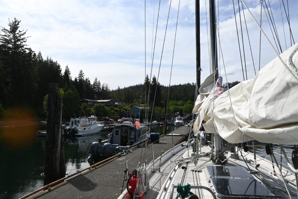
We’re on the dock at Winter Harbor this morning, after making the crossing around Cape Scott yesterday. This year we’re maximizing the time we have to explore each of the 5 great sounds on the west coast. We know there’ll be time for only 2 or 3 decent stops in each, but we’ll pick those carefully to have the best time seeing new things.
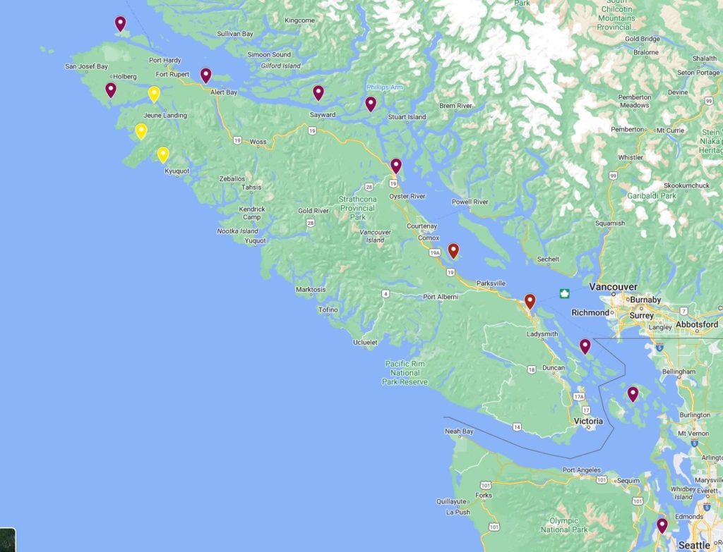
We’re pinned down inside Quatsino Sound for at least 4 days while a gale blows around the Brooks peninsula, so we’ve chosen a couple of anchorages to explore here, then the next stop after we round the peninsula. Red markers are where we’ve been and yellow are where we’re headed. I love that since last time we cruised, Google Maps has made map making so easy. Last time I had to write scripts to upload lat/lon coordinates, and now I just point and click. Sometimes technology is your friend.