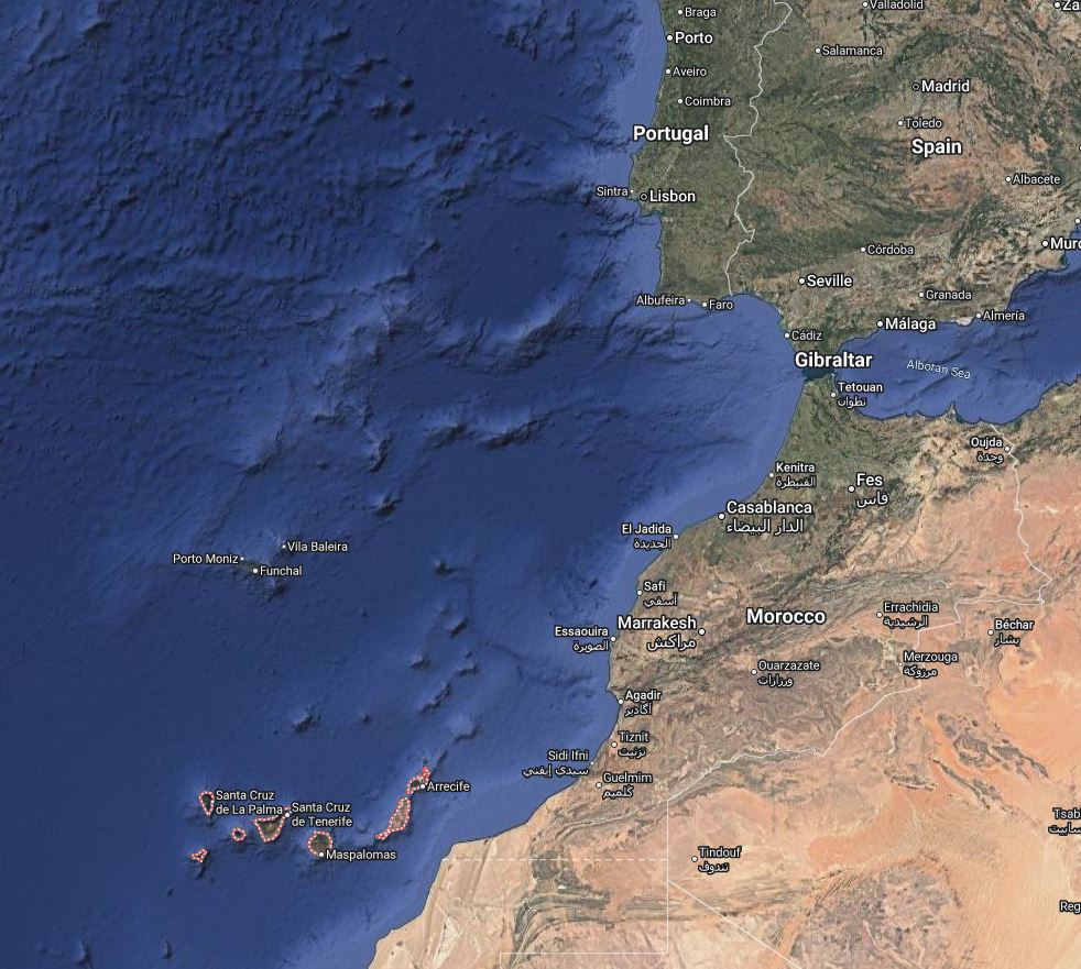
All too soon it was off to the next leg of this winter adventure. It was a short flight from Faro to Lisbon in Portugal, then another quick flight to Tenerife. Tenerife is one of the Canary Islands, which are owned by Spain and are 800 miles southwest of Lisbon (the bottom left of this picture). The archipeligo is 225 miles east to west, and the easternmost island is less than 100 miles off the coast of Western Sahara (south of Morocco) in the Atlantic Ocean. There are six islands in the group, and they are a great vacation spot for the Europeans. The weather in November was absolutely perfect, high 70’s and sunny. Tenerife hosted over five million visitors last year, and has a very high percentage of repeat visitors. Prices seemed reasonable for the things we wanted.
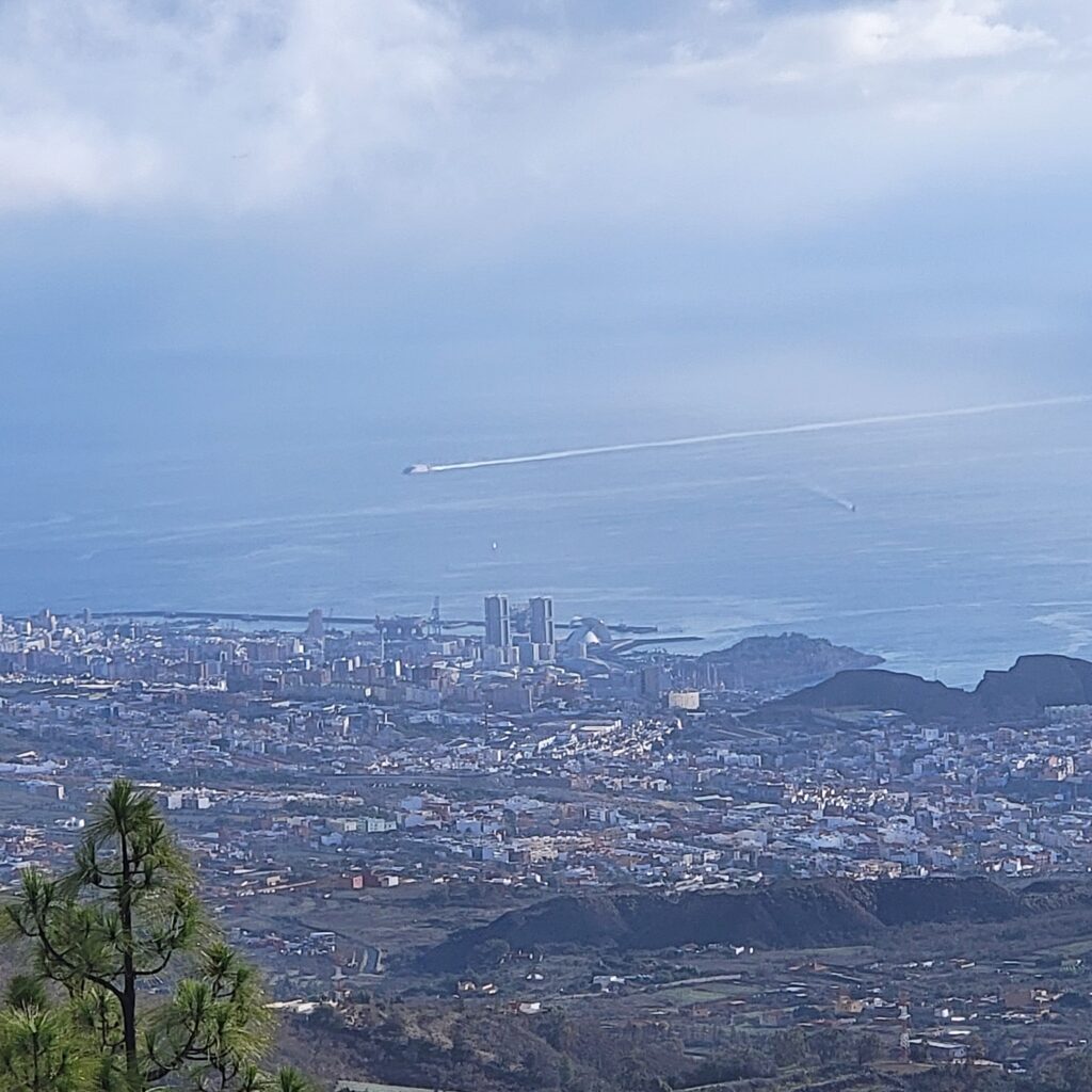
Complexity, Jim & Barbara’s boat, was moored in the harbor on the island of La Gomera. But we had to check out (get our clearance papers for the next country and passports stamped) in Tenerife, so I flew there and met jim & Barbara. They had taken a ferry over and had an AirBnB and car for 2 nights. As all cruisers do, they also had a small list of items to find while they were in the big town of Santa Cruz.

After chores were done we took a drive around the island. They had toured one day previously, but luckily for me they wanted to go again. Turns out they are much like Rob & I when they travel – always looking for something new to see.
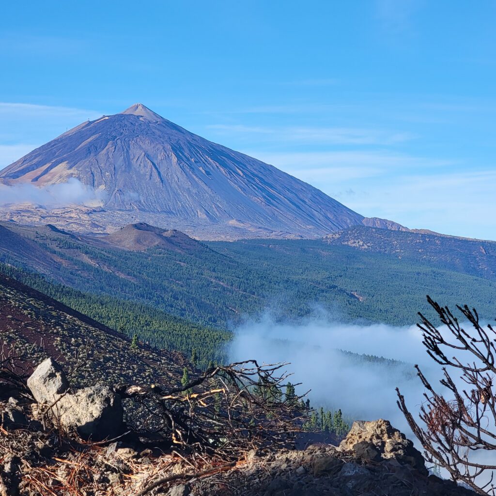
Besides cute towns and beautiful beaches, another big attraction on Tenerife is Teide National Park. Mount Teide is an active volcano, last erupting in 1909. The park is the most visited national park in Europe, and eighth most visited in the world. It averages 3 million visitors per year and is a UNESCO Heritage Site. There are 80 hiking trails around the park, and another visit really should be in my bucket list.
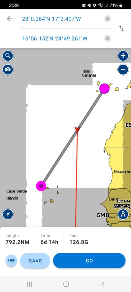
With the chores all done and new boat parts in hand we turned in the car and hopped a ferry over to La Gomera where Complexity was waiting in her slip at the marina. Jim & Barbara started watching the weather models for our 800 mile passage, but quickly found discouraging news about the winds. A huge low was stationary above the Canaries, basically sucking the air out of the tradewinds further south. Leaving any time before that low dissipated would mean days of motoring to get to Cape Verde. Few cruising boats carry enough fuel for 800 miles of motoring, and Complexity is no exception.
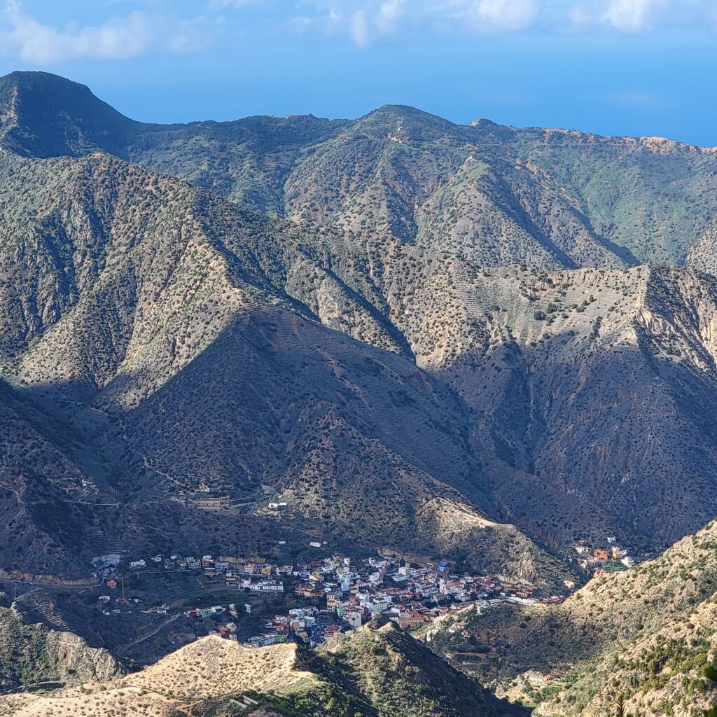
Since we had a couple of days to burn, we rented a car and took a drive to explore La Gomera. It is a super interesting place, with a central peak surrounded by deep valleys cut into the landscape. There is no single path around the perimiter, so you have to drive windy mountain roads up and around each vallley if you want to visit any of the small coastal towns along the shoreline. There is also a National Park at the top, but it was shrouded in clouds when we got to there and didn’t make the hike up to the peak.
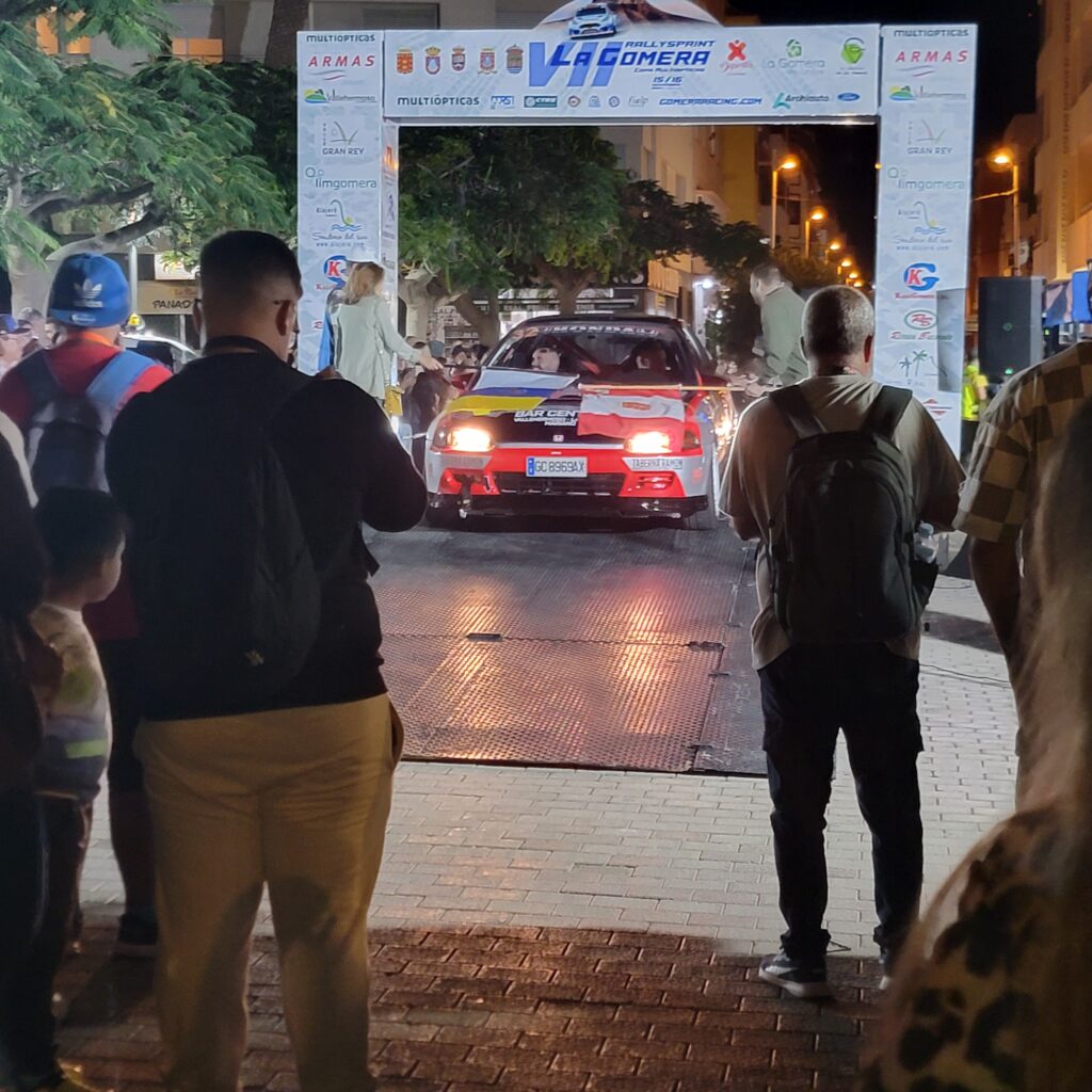
A fun thing that happened while we were there was a road rally. La Gomera has the perfect windy mountain roads, and there were 55 cars in this year’s event. We didn’t get to see them actually run the course, but the night before there was a big introduction ceremony where all the cars and drivers got to show off for the crowds. There also was a big street market and lots of vendors, which is always fun.
One very interesting thing about La Gomera is that the native inhabitants developed an entire language called Silbo Gomero, which uses whistling to communicate. Movement across the valleys was difficult, but the noise could easily travel. We were hoping to find a demonstration while we were on the island but didn’t get lucky. Of cuorse there are YouTube videos.

Now as I write this we’re on day 4 (I think) of this passage, hoping for landfall in another 3 days. It’s been a primarily light air passage, with a little motoring here and there. The sunrises and sunsets have been epic, with dust from the Sahara desert doing what it does best, making pretty colors. More on the passage in the next blog post.
Pictures for this blog will be posted after we arrive at Cape Verde and I get cellular data or wifi. Right now we’re running off Starlink, which does have data limits on the offshore plan we’re using.
Pix from this leg of the trip are here